The Ultimate Guide to Finding the Perfect Hat: Comfort,Style,and Functionality
The Ultimate Guide to Finding the Perfect Hat: Comfort,Style,and Functionality The Ultimate Guide to Finding the Perfect Hat: Comfort,Style,and Functionality
Cart(0)
Home Outdoor Essentials Waterproof Hiking Adventure
Smith Falls Topographic Adventure Map | CCON45 | Backroad Mapbooks
Title:
  • DefaultTitle

$ 0.00

$ 19.95

Please select combo product attributes
The combo subtotal is $,SAVE$

Product Details

Released: 2019

Paper: Waterproof

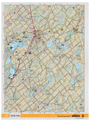
Dimensions: 61 x 94 cm/24 x 37 inches

Maps: 1:50,000

Digital Format Available: Yes, see DIGITAL Tab for details.

Map Features: Highways, Logging Roads, Land & Water Features, Parks, Adventure Points of Interest, Campgrounds, Hiking Trails, Motorized Trails, Paddling Routes, Hunting & Fishing Areas, Winter Recreation and More.

Areas Covered: Smiths Falls, Merrickville, New Dublin, Wolflord Chapel, Glenview, Rosedale

You May Also Like
Unavailable
Cart
The Ultimate Guide to Finding the Perfect Hat: Comfort,Style,and Functionality
Your cart is currently empty.