The Ultimate Guide to Finding the Perfect Hat: Comfort,Style,and Functionality
The Ultimate Guide to Finding the Perfect Hat: Comfort,Style,and Functionality The Ultimate Guide to Finding the Perfect Hat: Comfort,Style,and Functionality
Cart(0)
Home Outdoor Essentials Waterproof Hiking Adventure
Lindsay Adventure Topographic Map | CCON23 | Backroad Mapbooks
Material:
  • Waterproof
  • Waterresistantpaper

$ 0.00

$ 19.95

Please select combo product attributes
The combo subtotal is $,SAVE$

Product Details

Paper: Water resistant paper or Waterproof option

Dimensions: 61 x 94 cm/24 x 37 inches
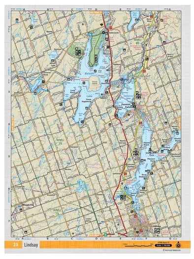
Map Scale: 1:50,000

Map Features: Highways, Logging Roads, Land & Water Features, Parks, Adventure Points of Interest, Campgrounds, Hiking Trails, Motorized Trails, Paddling Routes, Hunting & Fishing Areas, Winter Recreation and More.

Areas Covered: Lindsay, Fenelon Falls, Balsam Lake, Sturgeon Lake, Cameron Lake, Indian Point Provincial Park

You May Also Like
Unavailable
Cart
The Ultimate Guide to Finding the Perfect Hat: Comfort,Style,and Functionality
Your cart is currently empty.